Custom Flight Areas
This documentation explains how to define and use custom flight areas on DJI Dock if using them with robotics service calls directly.
Otherwise, when using DroneDeploy, custom flight areas can be defined and managed directly from the DroneDeploy interface. Please refer to the DroneDeploy documentation for more information.
To ensure the aircraft will only be able to fly in allowed areas, users can define two types of the custom flight areas on the DJI Dock :
- Polygonal or circular geo-fences (GF) : the aircraft cannot fly out of those areas. In DJI documentation, these are referred as task area.
- Polygonal or circular No-Fly Zones (NFZ) : the aircraft cannot enter those areas. In DJI documentation, these are referred as GEO Zone.
When the distance between the aircraft and the boundary of the custom flight area is less than ~10m during a flight task, the aircraft maximal speed will be reduced to ~2m/s. If after that, this distance goes below 5m, the task will be stopped and the aircraft will return home directly. The aircraft will plan a route around any custom flight area when returning to home. For a the flight task to complete, make sure the planned trajectory stays away from any custom flight area boundaries.
Since 1.7.23
Custom flight areas is enabled by default. If this is not desirable, this can be disabled manually in the Agent Settings within the dji component by adding the areas section :
{
  "id": "dji",
  "settings": {
    ...
    "areas": {
      "disable": true
    }
  }
}
Prior 1.7.23
Custom flight areas support in DroneDeploy is disabled by default and needs to be enabled manually in the Agent Settings within the dji component by adding the areas section :
{
  "id": "dji",
  "settings": {
    ...
    "areas": {
      "enable": true
    }
  }
}
Doing this will effectively erase any custom flight areas previously configured on the aircraft.
Define the Areas
This section explains how to create a JSON description of custom flight areas for DJI Dock.
Requirements
When defining new custom flight areas, users need to make sure they satisfy the following requirements :
- Multiple GF cannot overlap.
- Polygonal area supports a maximum of 255 vertexes.
- Circular area minimum radius is 10 m.
- Dock should be inside a GF.
- Dock should be outside any NFZ.
- Dock should be at least 10 m away from any custom flight area boundaries.
Format
Make sure you remove all // comment from the template as those are not valid in JSON.
DJI defines the JSON description format for custom flight areas as shown in the template below.
{
  "type": "FeatureCollection",
  "features": [
    {
      "id": "geofence-001", // Unique identifier of user-defined flight zone.
      "geofence_type": "dfence", // "dfence": geo-fence; "nfz": no-fly zone.
      "properties": {
        "radius": 0, // Unused for polygon, always set to 0.
        "enable": true // Not supported in the current version, always set to true.
      },
      "type": "Feature",
      "geometry": {
        "type": "Polygon", // Polygon needs to be closed (i.e. first and last point have same coordinates).
        "coordinates": [
          [
            [
              25.41512807678825, // WGS84 longitude.
              4.642350757553345 // WGS84 latitude.
            ],
            [25.41512807678825, 4.486362750550683],
            [26.134956012525294, 4.486362750550683],
            [
              25.41512807678825, // Same as the first point.
              4.642350757553345
            ]
          ]
        ]
      }
    },
    {
      "id": "nfz-001", // Unique identifier of user-defined flight zone.
      "geofence_type": "nfz", // "dfence": geo-fence; "nfz": no-fly zone.
      "properties": {
        "subType": "Circle", // Custom area type. Only for circle areas.
        "radius": 1000, // Radius must be at least 10 m.
        "enable": true // Not supported in the current version, always set to true.
      },
      "type": "Feature",
      "geometry": {
        "type": "Point",
        "coordinates": [
          25.41512807678825, // WGS84 longitude of circular area's center
          4.642350757553345 // WGS84 latitude of circular area's center
        ]
      }
    }
  ]
}
Editor
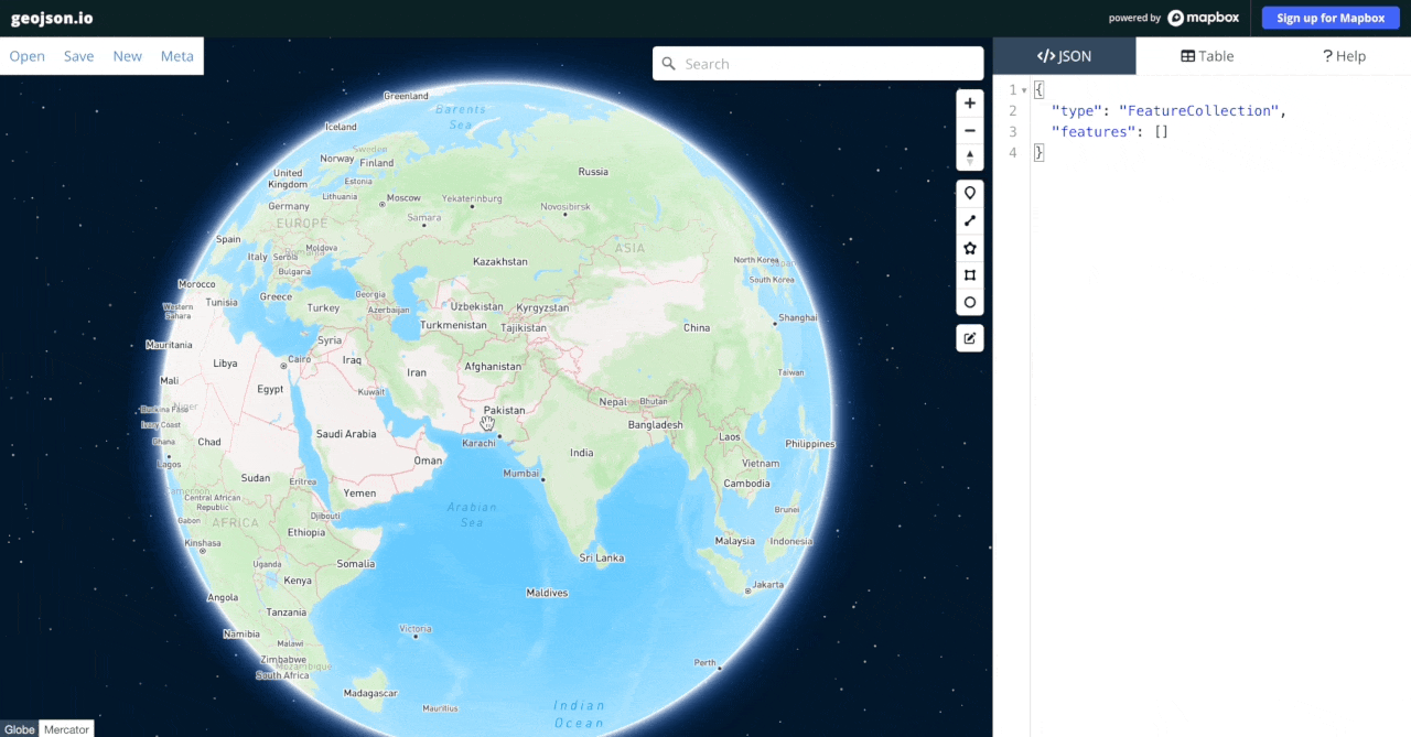
DJI Dock custom area description is based on the GeoJSON standard and can be generated with the help of GeoJSON Editor as follow :
-
Open GeoJSON Editor tool.
-
Navigate to your project location (you can search by address or set the coordinates in the page URL).
-
Draw the custom flight areas on the map. JSON description is automatically created on the side panel.
-
For each GeoJSON
featurecreated, add the following lines from the template :"id": "<area_id>",
"geofence_type": "<area_type>",
"properties": {
"radius": 0,
"enable": true
},note- In
"<area_id>",<and>indicate a placeholder in the template, they don't need to appear in the actual JSON file. - It is likely the JSON file will already include a
"properties"key. It is invalid to have duplicate keys in JSON, please make sure to not duplicate keys.
- In
-
Replace
<area_type>bydfencefor geo-fence or bynfzfor no-fly zone. -
Replace
<area_id>by an unique ID of your choice. We recommend prefixing the area ID by the area type to make it easier to identify once deployed. -
Save the GeoJSON file on your machine.
-
Pass the GeoJSON to the service call when starting a flight task.
There is no native support for circles in GeoJSON. We recommend to use the GeoJSON Editor circle tool that will generate a 65 vertex polygon approximation of the circle. This will allow easy visualization of the circular area over the map. Alternatively, you can draw the circle center as a Point in the GeoJSON Editor and add the rest of the circle definition in JSON directly (don't forget the subType property).